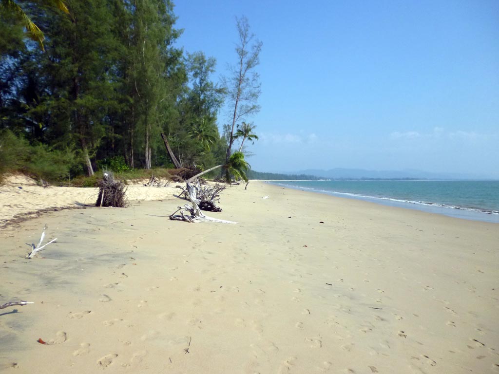
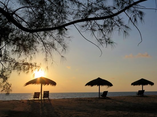
Just a ten minute boat ride from the Takua Pa area of Phang Nga province, Ko Kho Khao (pronounced kaw koe cow) doesn’t look very different from the mainland. However, for those seeking a family beach destination that’s not as remote as nearby Ko Phra Thong but not as busy as Khao Lak or Phuket, Kho Khao is worth a visit. The island’s long golden beaches are the main draw, and aesthetically these are similar to the beaches of the Khao Lak area further south. The waters are slightly murky and lack the pristine aquamarine hues of Ko Surin, to the west, but the beaches still make for great swimming, romantic walks and dazzling sunsets.
The island still feels like something of a secret place, but more resorts are gradually popping up. Though Kho Khao (Neck Mountain) island is increasingly included on the tourist radar, especially with Germans and Scandinavians, it remains a markedly sleepy affair — the perfect place to enjoy seclusion without sacrificing quality, comfort and an adequate selection of visitor-oriented services.
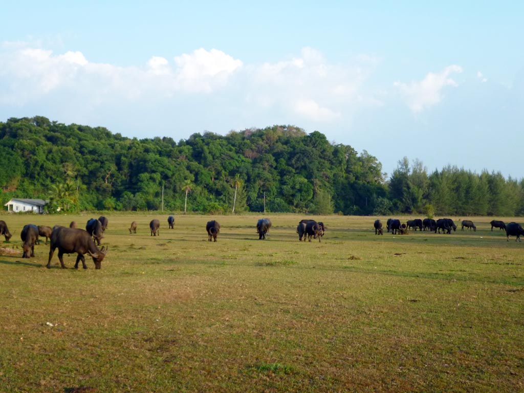
About 16 kilometres from north to south, Ko Kho Khao is characterised mostly by flat, grassy sand flats towards its centre and a sprawling area of mangroves and canals to the east. The current population of around 1,300 is nearly all Buddhist, with three small Buddhist temples found on the island. Baan Pak Kohat the pier is the busiest (but not at all busy) of the island’s five villages. Aside from tourism, Kho Khao locals earn a living mainly from fruit, rubber and palm oil plantations and shrimp farming.
Historically it was a landing spot for ancient settlers who over time then spread across the Malay peninsula. Later, it was a popular stopping off point among Chinese and other traders during the Takua Pa area’s heyday as a tin mining centre.
Ancient pottery, jewellery and sizeable Buddhist and Hindu statues have been unearthed at the Tung Tuk archaeological site on the island’s southeast, some of which may be seen at Phuket’s Thalang National Museum and the National Museum in Bangkok. A couple of (neglected looking) pavilions at this ancient town site house large, informative posters with historical details and photos.
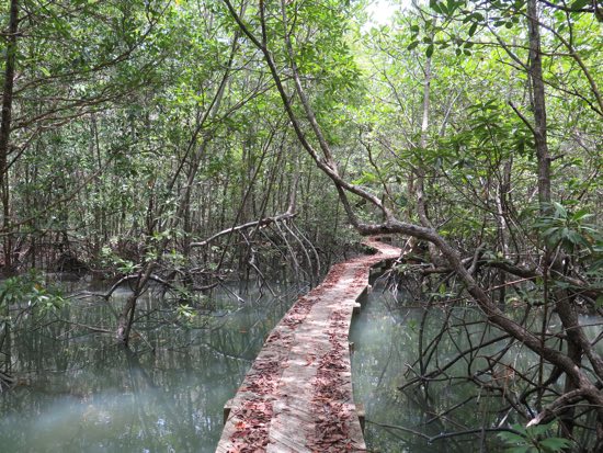
To the northwest there’s an old, overgrown air strip that was used by the Japanese during World War II. Other low-key sights and activities include the small but pretty Toan Thong Waterfall to the northeast, a kayaking operation that runs excursions into the northern and eastern canals, birdwatching trips, snorkelling at nearby Ko Pha or the more remote Ko Tachai, and diving with the island’s only dive operation — Kho Khao Diving.
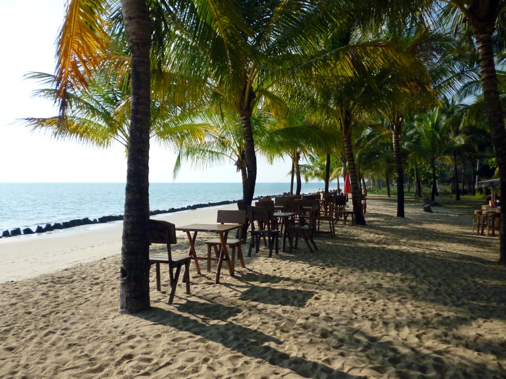
A paved two lane road runs straight from Baan Pak Koh all the way to the island’s northern coast, and everything on the island is located down side lanes off this road. Most of the high end resorts are situated along the southern stretch of beach known as Pak Koh with a solid mid range spot a bit further north on Bang Neang beach. At low tide it’s possible to walk along the beaches for several kilometres, but at high tide parts of the southern beach become impassable save what’s been protected by seawalls constructed by some of the resorts.
Further north is Nok Na beach, the most remote stretch of sand with a similar feel to the ultra secluded beaches of Ko Kho Khao’s northern neighbour, Ko Phra Thong. Towards the north it’s also possible to explore the dirt paths by motorbike or bicycle that wind deep into the mangrove areas to the east.
Due to its flat landscape Ko Kho Khao was devastated by the 2004 Tsunami, and many locals chose not to return and rebuild. Tsunami warning towers and evacuation buildings are scattered throughout the island, with one beachfront resort — Ocean Breeze — even building its own tsunami escape tower. The most visible reminder of the tsunami’s destruction is at Baan Muang Mai on the east coast, where all that remains of its former sub-district office is the foundation, now serving as a shrine of sorts. Parts of the island still have a forgotten and haunted feel, especially at night.
Orientation
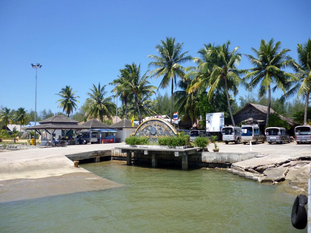
Unless coming by private longtail from Ko Phra Thong, virtually all visitors to Ko Kho Khao arrive at Baan Pak Koh’s Ko Koh Khao pier at the far southern point of the island after disembarking from either the longtail or car ferries that depart from Nam Khem pier across the narrow straight that separates the island from the mainland.
Immediately after arrival the island presents itself as a friendly and accessible place with an ample number of taxis, restaurants, shops, and tour companies offering motorbike rentals. The infrastructure is good throughout, with internet and mobile access most everywhere. Free WiFi is available at nearly all of the resorts across the island and some restaurants.
The island has two health clinics, one at the northern end of Pak Koh village and another in the north, and the hospital in Takua Pa is less than a half hour away by boat and car.
There is a small police box across the main road from the entrance to Tacola Resort.
There are a couple ATMs near the pier at Baan Pak Koh, and the larger resorts accept VISA and Mastercard.
Ko Kho Khao is very much a seasonal destination. While a few resorts remain open year round you can expect them to be running with skeleton staffs and most of the tourist facilities on the island to be shut down from May through October.