
Discovering more destinations in the Lee Marine series…
The Indian Ocean, third largest of the globe’s oceans is home to some of the most beautiful islands. Bordered by Africa, Asia, India and Australia, cruising these waters are truly a tropical treat.

Circumnavigating India’s Andaman Islands
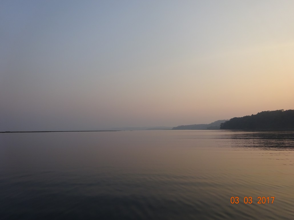
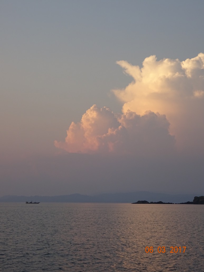
Venturing from Nai Harn Beach, Phuket early February 2017 for the Andaman Islands, India meant my first blue-water experience had begun.
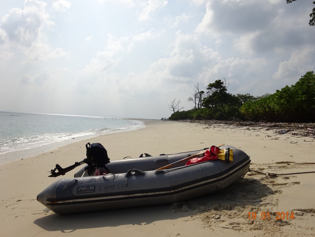
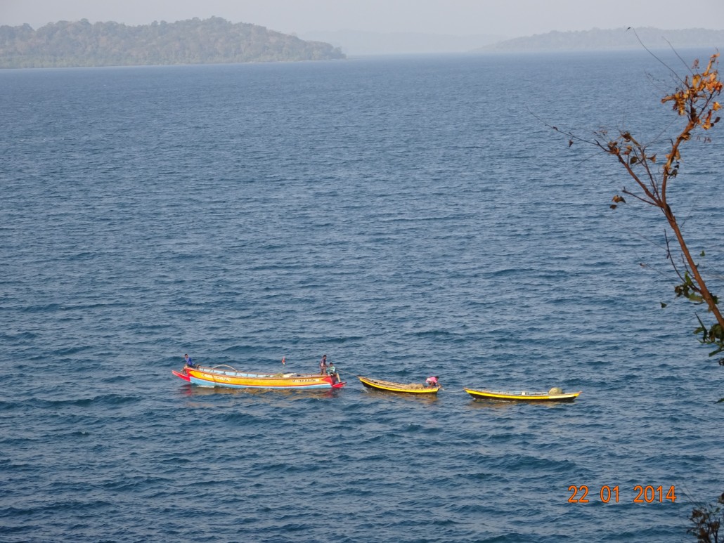
Clocking only 14 engine hours out of the 405 nautical miles, the sailing was very comfortable. Winds were not always on the required NW course to reach Port Blair, however within four days we dropped anchor on the west side of Chatham Island and proceeded checking in. As not many pleasure boats come here (65 last year), and due to British fall back, evident in the amount of bureaucratic paperwork required, the next 1.5 days were spent processing. Having prearranged a sudo-agent to assist, this did smooth the way a bit. Although not necessary for private yachts, we felt our newly found friend, Ravi sorted so much at a very reasonable rate. So officials, banking, eating delish local fare and general provisioning before sailing off into the 300 islands was effortless.
[av_one_half first]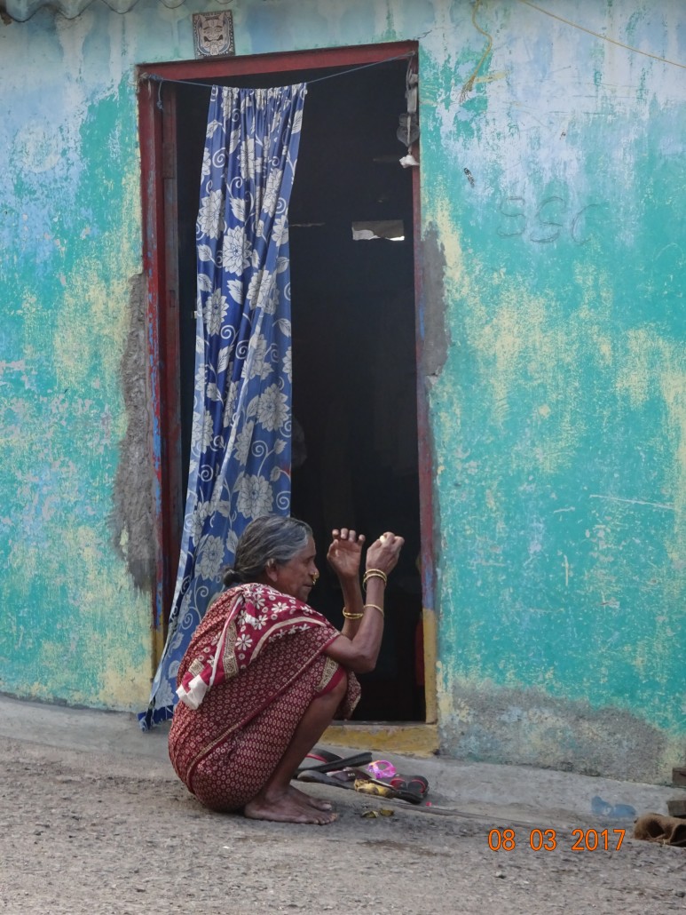 [/av_one_half]
[av_one_half]
[/av_one_half]
[av_one_half]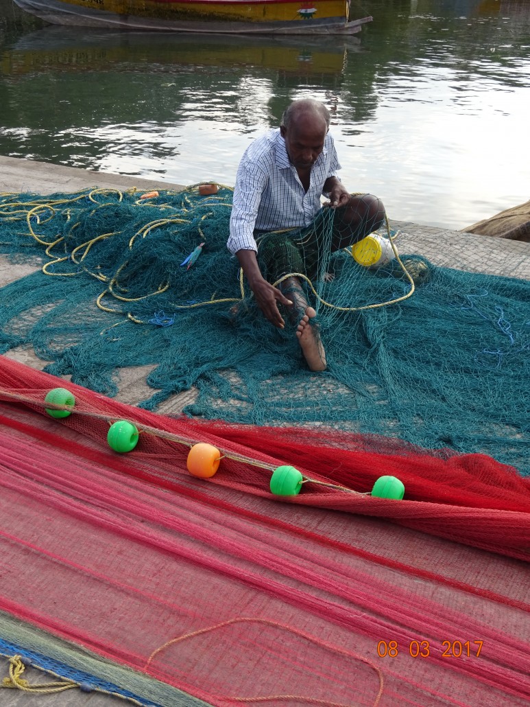 [/av_one_half]
The Harbour Master – wonderfully professional and protective of his domain and what islands we were allowed to visit. There are groups of tribal people living on the islands. Other islands protect marine life, thus landing is not allowed on some. You are required to present a daily itinerary of your travels which will be scrutinised by the Harbour Master and may be modified.
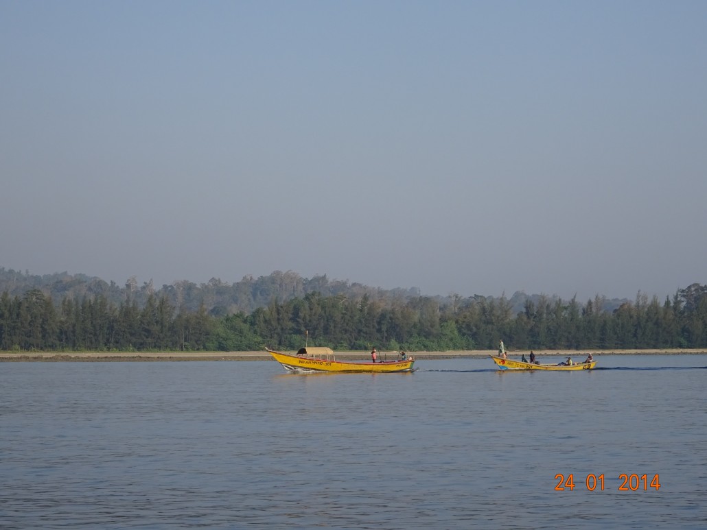
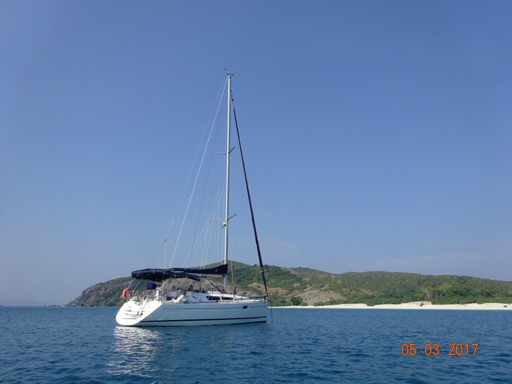
Most pleasure yachts coming to the Andaman’s are more restricted by time – such as an 8-12 day charters. Our 30-day Visa allowed us to take time on my Jeanneau 36i for circumnavigation of the main Andaman Island including South, Middle and North Andamans. The more visited areas such as Havelock Island and east side of Andamans are well charted, however some Admiralty charts for the less traveled north and west side have not been updated since 1898. Natural changes, storms, Tsunami have occurred since, surely shifting sands and perhaps extending coral reefs. This made some of our planned anchorages impossible to enter and somewhat dangerous trying.
Leaving Port Blair we headed for Neill Island starting north up the east coast. The 12-18 knot NNE winds made the waters for snorkeling not as settled as desired. Daily sailing has been tacking a lot while reefed in. Pleasant yet we would arrive at the next anchorage very tired. With sundown about 17.30 followed by darkness at1800 hours, night falls early, sunrise start early. Days followed moving north to Havelock Island (in hindsight, we wished we had spent time here on land exploring the rainforests), then between Henry Lawrence and Inglis Islands, through Charka Juru passage to North Button. Freshly caught tuna and homemade bread was divine along the way. Most islands and anchorages were totally deserted. We quite liked this serenity.
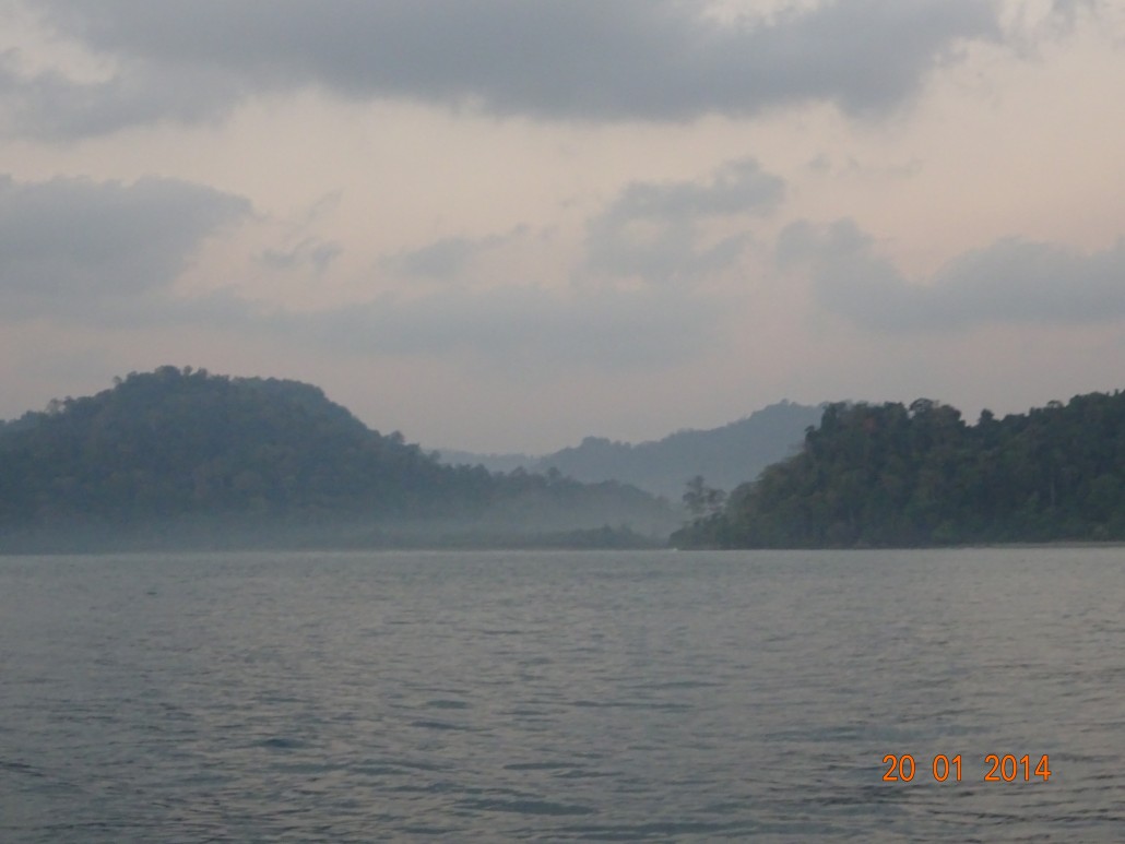
Leaving another paradise, we continued north, yet long tacks in 12-18 knot winds changed the planned destination, Maya Bunder to tucking into Cuthbert Bay/ Strachan Cape for the night’s shelter. Truly magical. Not the white sand beaches of the more southerly islands, but misty layers of rolling hills, rainforest, a creek in the distance and a single wooden boat sitting high on the beach indicating someone is there somewhere. We do not go ashore as many places are restricted due to ancient tribal presence. We simply stay aboard and enjoy the beauty not even swimming. Frankly, in murky waters and/or where there are mangroves consider there might be lurking crocodiles. Warning signs, for example were posted at Port Blair’s boat building area, and research informs you they do exist.
Maya Bunder is a much smaller port than Port Blair, though strangely better internet connections. We checked in with congenial Samuel at Port Control and then to the Police Station where a woman cop held, what appeared to be a handmade rifle. ‘NO pictures’, we were told. Thanks to friends Nick and Marilyn from SY Emerald Blue based in Phuket, we had a friend to meet here. John is unavailable but sent his nephew Justin to greet us. They are of Karen tribe origin from Myanmar. Their grandparents came here as logging labourers in 1929. Now 2 generations born here, these Baptists keep some of their Karen traditions while adapting to Indian ways of life. We ate at their home (they run a homestay that is basic yet comfortable) with delicious cane and local herb soup, red rice, fish, chicken curry, homemade yoghurt and sauces followed by red tea.
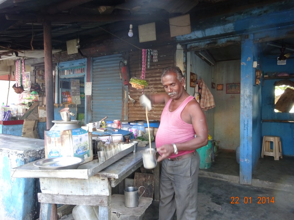
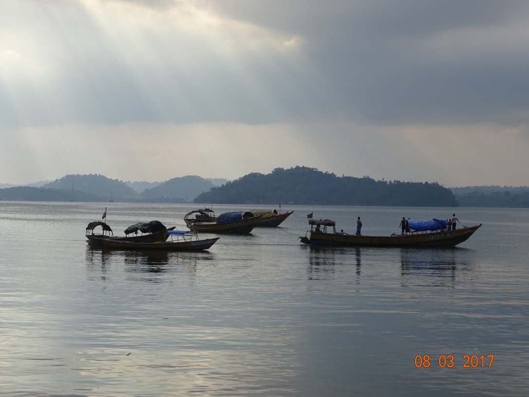
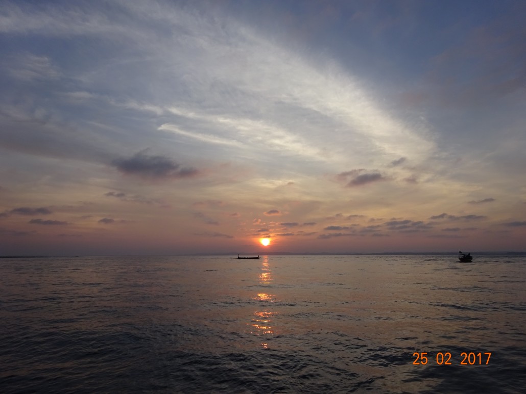
The one road village has basic veg, water and fuel. Anchored 500m west off the Port jetty, using the dinghy, we motor in and secure our dinghy to the dock and crawl over other small fishing boats. People are curious of course, yet we feel so safe with friendliness all around. Most eateries close mid-afternoon until after 1800-1900 hours. Sometimes smaller street side chai place have snacks. Our journey continues after two days at Maya Bundar. The 10-15 knot NNE winds dropped mid-afternoon to 8 knots, while dolphins and birds joined the journey. We divert as getting too late for planned destination. Craggy Island – the diversion is so peaceful. Lights from Diglipur form the backdrop amongst hills.
The next day, while motor-sailing past the most northerly government post – Port Cornwallis/Diglipur, we hear Port Control urgently trying to contact us on the VHF. As this stop was on the itinerary, he was anxious to know our plans. We merely said we would skip this stop and onto nearby Turtle, Table and Delgarno Islands. All was fine. We later wished we had stopped in this port post just for the experience.
Facing north to Myanmar, East Island one of the most northerly Andaman Islands with its lighthouse and substantial concrete jetty holds military presence. Landfall Island, to the west, sits slightly more northerly forming good protection between the two in the natural channel. At West Island, three open fishing boats rafted together and cooked a large fish over an open flame and made hot chai in one of their boats. We realised there was cell connection here as a fisherman was using his phone. Twice daily, as a visiting yacht, you are required to call to the authorities and report your position. Only a VHF and handheld are aboard, so we bought an Indian SIM card for our phones upon arrival. That proved somewhat useless as we were out of range due to our remote journey, yet grabbed the chance to communicate with Ravi or family when possible. The lack of daily calls to the Coast Guard did not seem to be an issue.
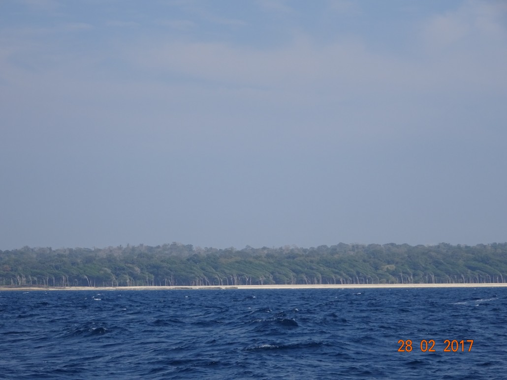
Proceeding south down the west coast meant more than usual restricted anchorages and landings. This made for a few long sailing/motoring days and uncertain or impossible entrances to some anchorages. Passing White Cliff and Reef Islands, a gentle NNW wind sailed us to Point Island, south of Paget Island. On the way, supper was caught in the form of a Travali. Downwind sailing the next morning to reach North Reef Island, just southwest of Shark Island, in 12-15 knot winds, the depth, which we constantly monitored, shallowed from 45m to 5.4 meters. We saw no indication on the charts, or visibly of reef, rocks, sand shallows. Perhaps a turtle or fish under us? Soon the depth was back to the higher numbers.
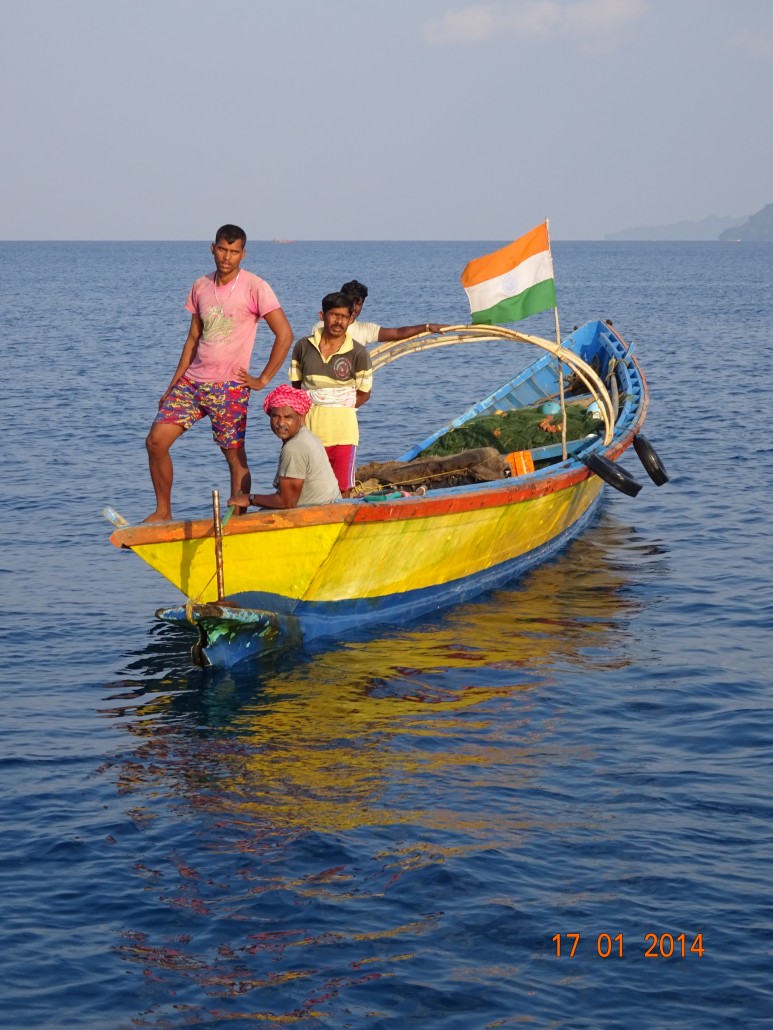
Continuing along the west coast of Interview Island and around to the south-east side of South Reef Island where we anchored for two days enjoyong the sea-birds, Herons, Egrets, Hawks and snorkelling the reefs. Approached by a local fishing boat, you could see the wondering expressions on the five fishermen’s faces as to what all the yacht’s equipment was for. Then as in earlier instances, through visual sign language, we were asked if we had whiskey or wine.
Proceding south, arriving at Spike Island, we observed that the reefs off both sides of a supposed channel revealed no entrance. After two attempts from different angles, we decided to motor south in search of a safer place. Entering between the reef and headland with less 0.5m below the keel, our haven Cape Bluff slowly deepened and we tucked in 8.5 meters south of the reef.. The virgin rainforest featured calm, long lake-like waters accentuated with rolling, misty hills in the distance. Indeed an artist’s canvas. We were very tempted to venture in the dinghy, yet honoured these restricted lands and were on our way the next morning.
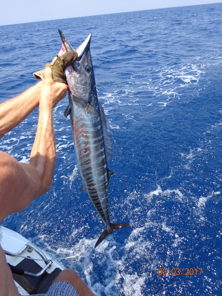
A soft easterly turned to 18 knots south-easterly speeding us along at 7.5 knots. Our best catch yet. First a 2kg Tuna that no sooner was it cleaned when a 7kg Wahoo was fighting on the trawling line. So much fish that the small freezer had to be emptied of its current contents prepared in Phuket, to fit the 24 fish meals. Cape Barwell, another challenging anchorage entrance, became one of the better snorkelling places. Entering and anchoring with shallow reefs all around, only one boat would fit here. As we dropped the anchor, a fishing boat approached out of nowhere, and in their local dialect and pointing, tried to tell us not to go ashore as Jatawa tribes live there and may not be friendly. We had no intentions of going ashore. The snorkeling was so enjoyable with the variety of coral and sea life – like being in a shallow aquarium.
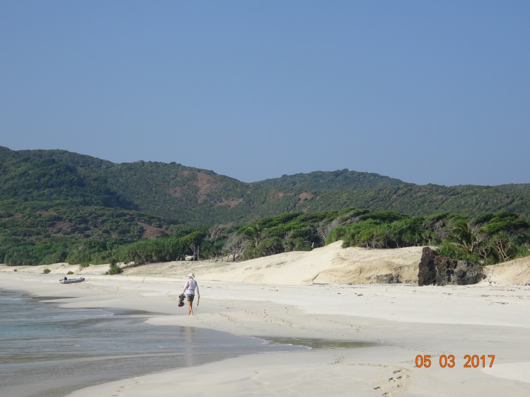
Onto Red Skin Island entering south around Boat Island as not comfortable with the chart depth readings for the north channel between Tarmugli and Boat Islands. Again at this anchorage the depths seemed not to coordinate with the chart data. Along many shorelines on this west coast venture, wind-swept trees all lean in one direction. Motoring towards the south-west tip of Rutland Island, in the distance white caps indicated 10-15 knot winds. They appeared along a very definitive calm then ruffled water line. The NE winds blew a near direct path to South Cinque. Clear, striking water met the long, sandy beach. Dolphins and a large manta ray lazily greeted us. Entering this large, sandy bay felt like we had just been granted a gift of a no-challenge anchorage after weeks on an exploratory mission. Very nice. The journey, soon coming to a close, included anchorage at North Cinque and then north up the east coast to provision, eat ashore (not fish), and check-out at Port Blair.
With our Indian Visas about to expire – wind or no wind, which was generally the norm on the return journey, we had to set sail. Four days later – anchor is dropped at Nai Harn. Fond thoughts fill my head of turquoise waters, deserted peaceful places, abundant sea-life species, birds, deer, snorkeling, swimming, fishing, local fishing boats, people and port culture. And the tranquility of the passages – clear night skies loaded with stars, planets and the moon enchanting. A most pleasant start of my choice to live aboard Lunasea13 for a year – or more …
————
Footnotes:
VISAS for India arriving by boat
Contrary to some recent information stating that you can only apply for an Indian Visa in your home country, note that it is possible to obtain an Indian Visa from Thailand as a foreigner provided that you have either a Thai work permit or Thai retirement visa. You are required to visit the Indian Consulate in Bangkok or Chiang Mai to obtain a stamped Visa in your passport. Indian E-Visas are not acceptable if arriving by yacht at Indian entry ports.
For more information: IVS Global
Useful Information:
Check-in at Port Blair – expect Customs, Immigration and Coast Guard to board your yacht. Except the Coast Guard, you will be required to use your dinghy for collecting and returning officials. The Coast Guard boat will raft up to yours. Be aware that their fenders left large black tire marks on the yacht. Kindly ask the Skipper to stand-off while waiting for their Team.
We found the officials kind and curious about the lifestyle on yachts. Simply be patient as the procedures will take time
Pre-planned Itinerary – expect modifications from the officials, and Harbour Master normally has final signature
Copies – multiples of everything required – easier if you have all on hand.
Chop/Stamp – with boat name is helpful to have onboard
If you have comments or queries, please contact Lori Ashton: lori@the ashtons.ca